Surveying
Surveying Services
Among many other documentation needs, our surveys provide the information required for making informed decisions on construction sites, planning the design and maintenance of infrastructure, and delineating cadastral property boundaries for property ownership administration.

2D/3D Mapping
- Our drone may take thousands or even hundreds of digital photographs, which can be stitched together using surveying technology to create 2D orthomosaic models of exceptional quality.
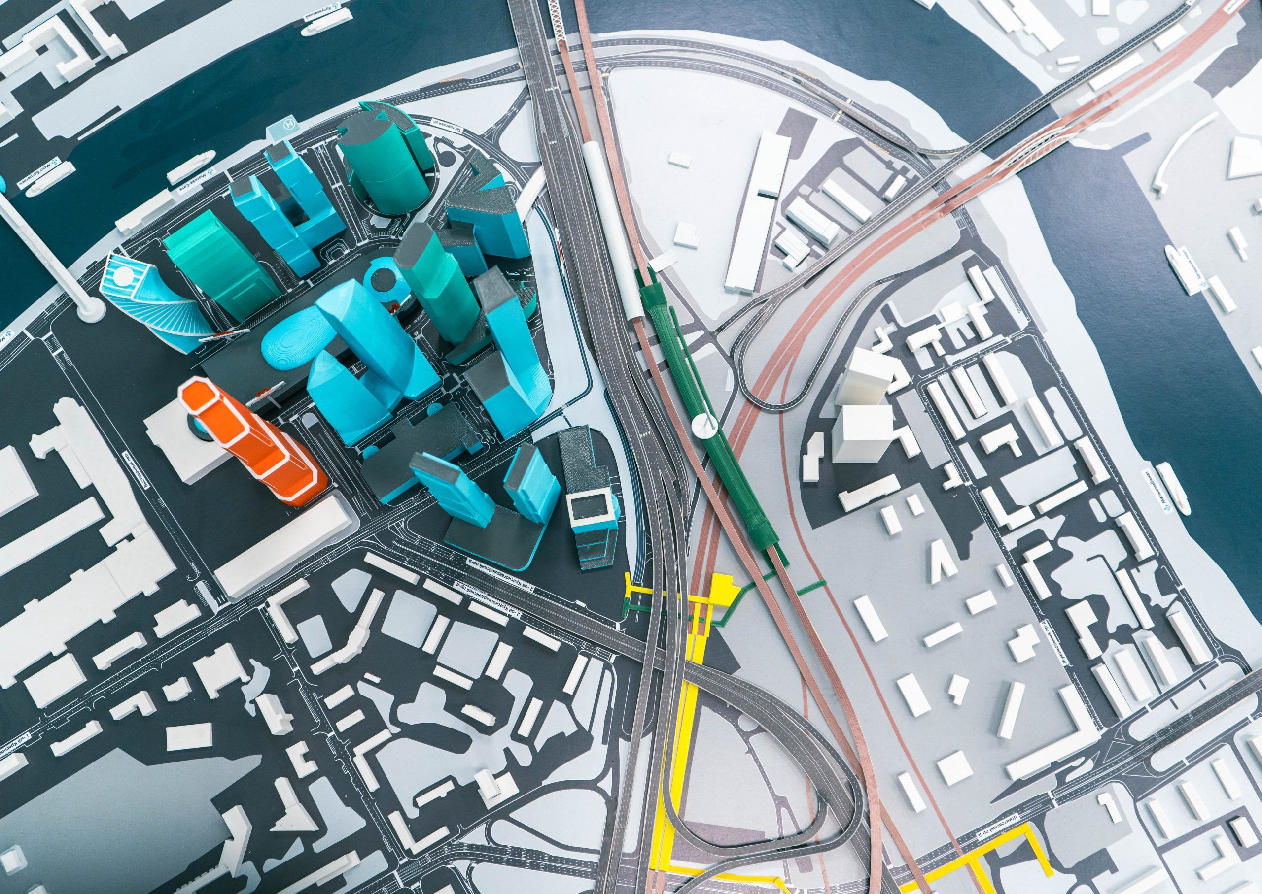
- A 3D orthomosaic map made from multiple digital images of your surveying location can provide useful topographic information.
- Streamline your stockpile measurements and design conformance checks such as grades, lengths and heights.
3D Modeling
- Collect information effortlessly using autonomous drone flights instead of laborious and hazardous conventional operations.
- Use maps and models created from automatically analyzed aerial data to measure distances, calculate volumes, and view the location in 3D.
- Compare to designs and share with project stakeholders to collaborate on inspection results and details using embedded links for individual projects