Utility
Utility Services
High-resolution digital twins of each location and item in your portfolio can reduce inspection expenses and ensure the safety of your crew.
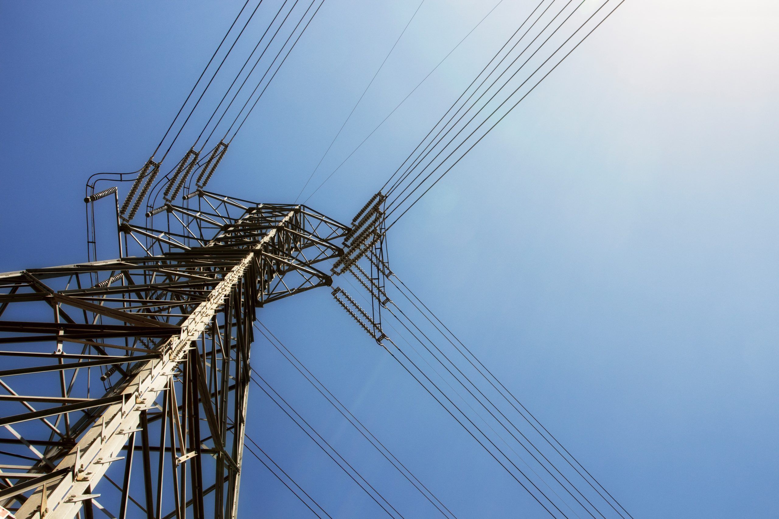
Site Inspection
- With the use of our aircraft you can collect high-quality data for required inspections.
- Using 3D models and high-resolution images of each object, identify problems and assign tags to them.
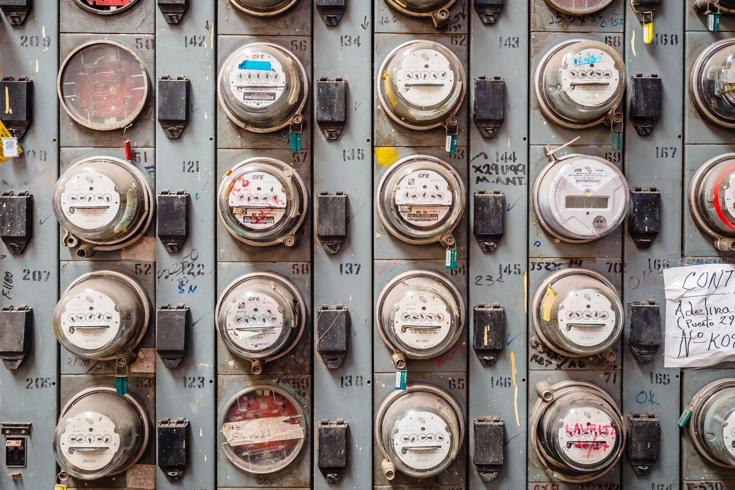
Asset Managing
- Provide precise position tracking and condition documentation along with visual proof of the equipment, site, and asset conditions.
- Increase trust with stakeholders by sharing an accurate digital twin of each asset in Esri.
- Improve relationships with local or federal agencies and create a sense of transparency by sharing aerial maps.