
Sectors
Real Estate
In order to display your residential property from an eye-catching vantage point in the skies, our expert drone services deliver breathtaking aerial photos, video, and panoramas.

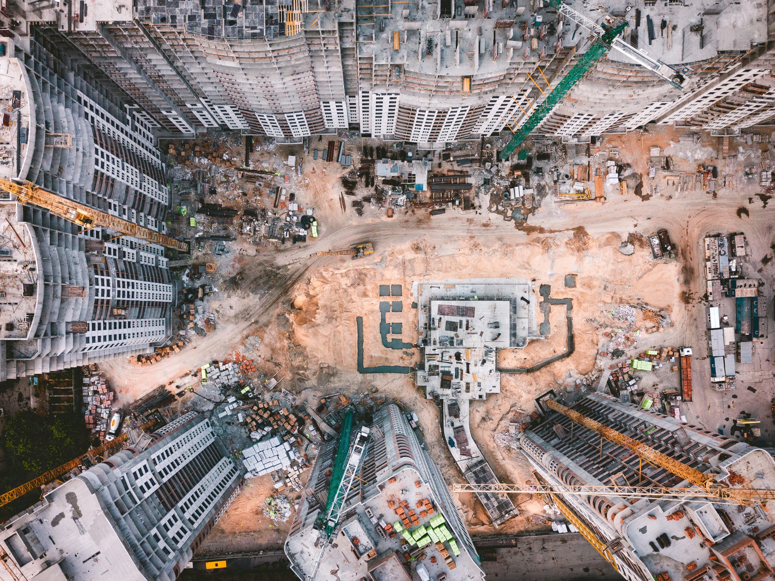
Construction
By integrating aerial and ground data to make surveys, conduct inspections, and document every job site, you can save time, enhance communication, and cut costs.
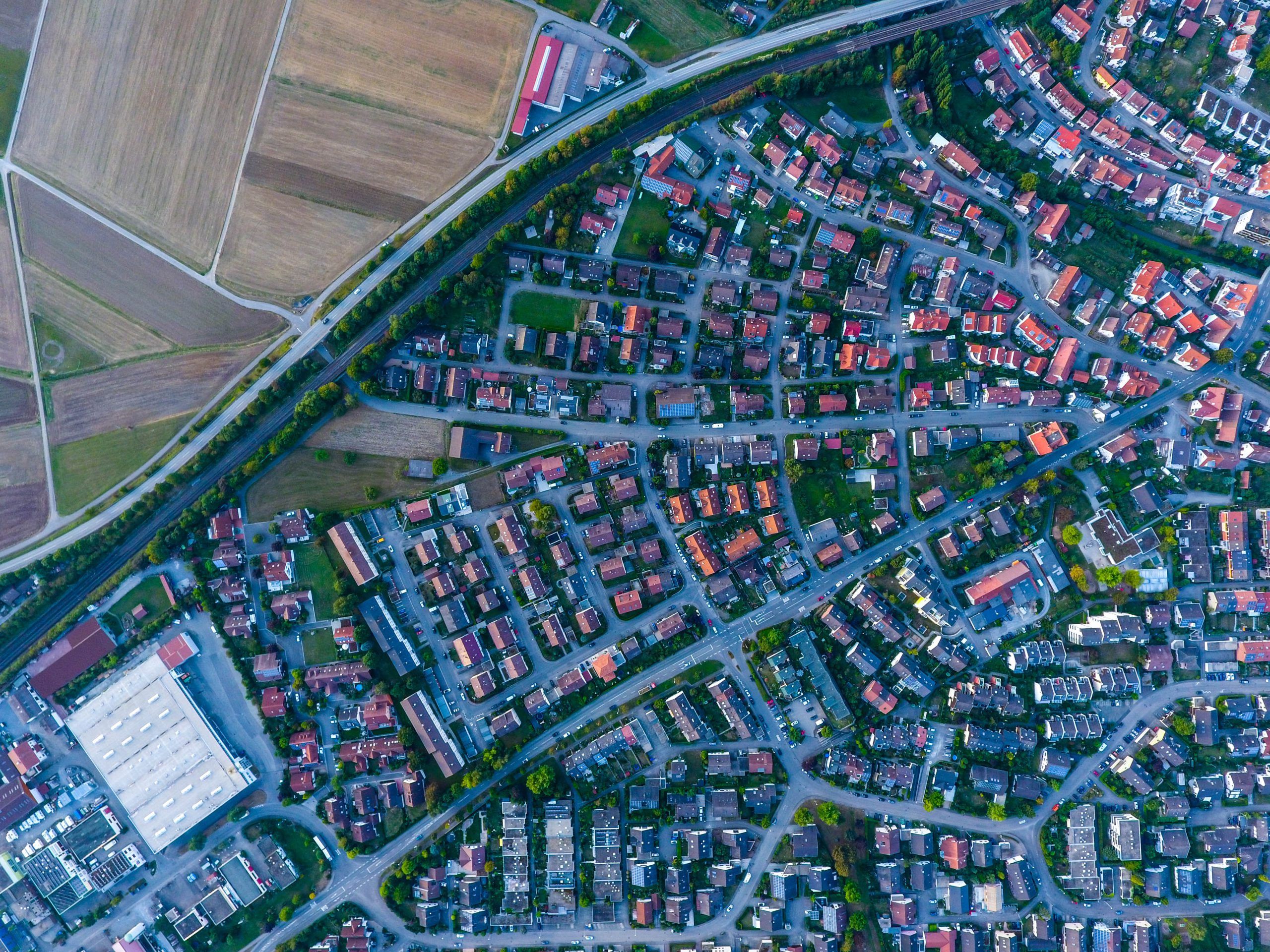
Surveying
Our surveys offer the data required to make educated decisions, plan the building and maintenance of infrastructure, and define cadastral property boundaries for managing property ownership.
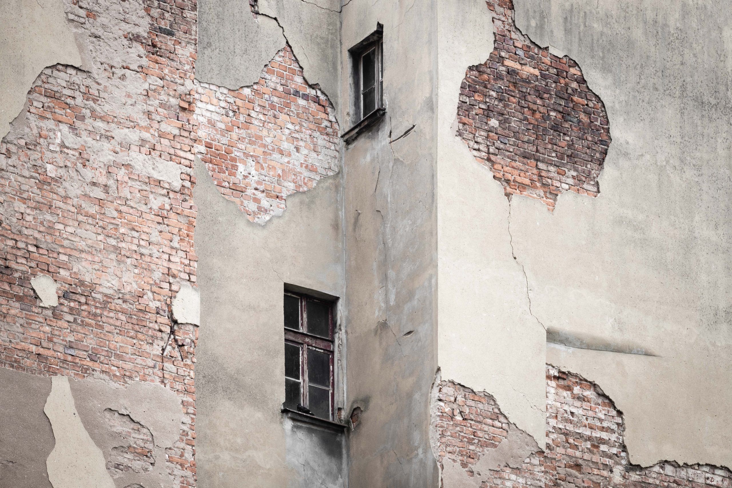
Insurance
Improve the efficiency of the insurance lifecycle with precise roof inspections and useful property data obtained from high-resolution aerial images and careful analysis.
Oil & Gas
Manage operations at scale with digital replicas of sites and assets.

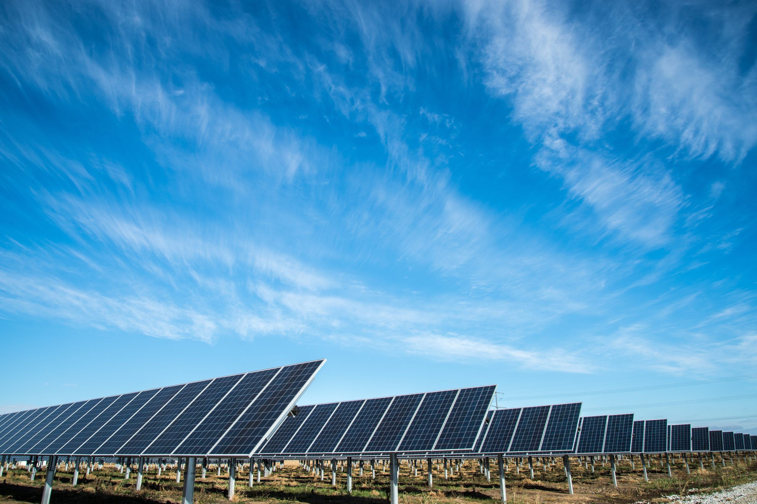
Renewable Energy
Automate analysis and reporting using 3D models and aerial maps to streamline the site survey procedure, standardize the deliverables, lower the direct danger to personnel performing inspections, and enhance stakeholder participation.
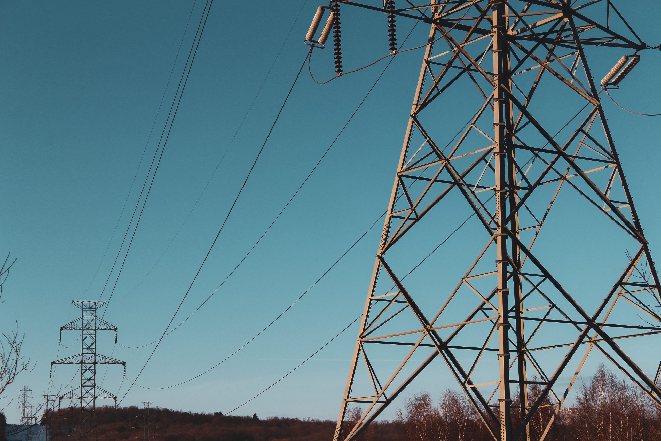
Utility
High-resolution digital twins of each location and item in your portfolio can reduce inspection expenses and ensure the safety of your crew.
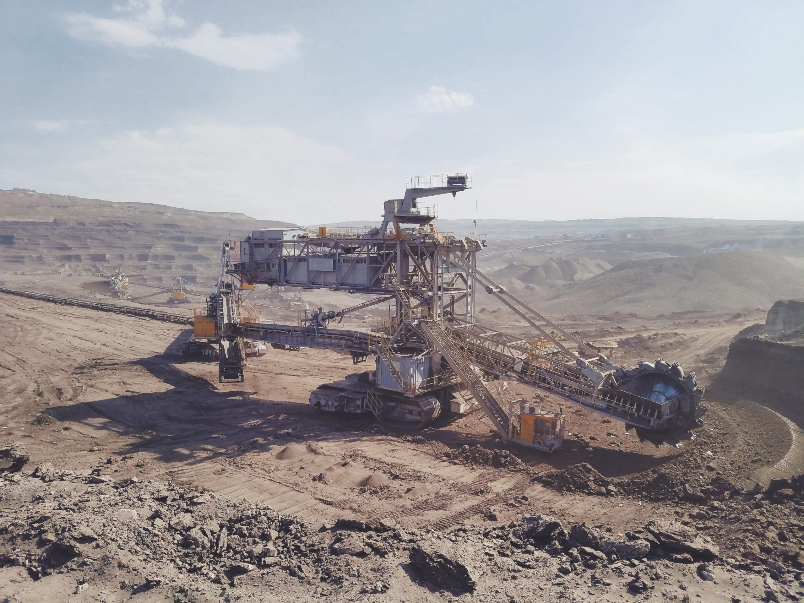
Mining & Quarries
Utilize aerial data to monitor commodities more efficiently and reliably, conduct inspections, and undertake excavations while ensuring the safety and compliance of your workforce.